The Jim Osborne Memoirs - Ghosts of Port Dalrymple Rd

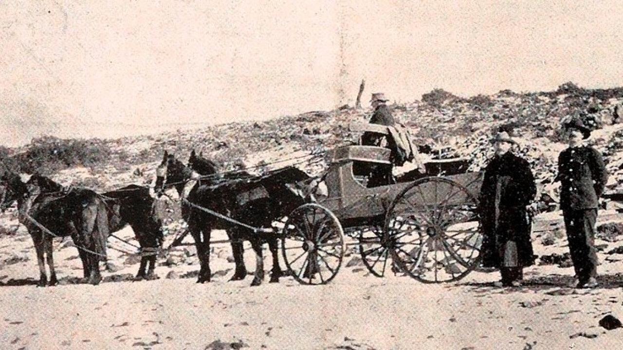
The Port Dalrymple Road. The ghosts remain, and if you know where to look – and look hard – you can still picture the four-in-hand coaches battling through all seasons.
You can almost hear the cracks of the whip as rivers were forded and hills climbed.
At times there would be a police or military escort when bushrangers were known to be in the area, but Sam Blackwell’s coaches always got through.
Four horses to a coach, and a change every seven miles, give or take a mile or two in the hillier or driest stretches, and the horses rarely walked.
Two days was the time schedule and 130 miles from Launceston to Hobart on the Port Dalrymple Track – and as much of the journey as possible in daylight.
Leaving Launceston, the first change was at Breadalbane. This inn, now called the Woolpack Inn, was originally known as The Cocked Hat. I wish it still was.
From there through Perth, a short stop and then almost to Powranna, where the inn known as The Rob Roy was the next change. It seemed that at all these coaching inns almond trees had been planted and, though they all seem to have died or been removed, 30 years ago they were still landmarks.
From Powranna the road turned right, going through Fairfield, now owned by the Dennis family, and not to be confused with the Fairfield at Epping Forrest.
A change of horses at Fairfield, then across the Macquarie River by ford into Lake House and on to Newham Park. The old inn there was demolished early in the century and the stones from it used for the building of the large woolshed at Connorville.
From there on to Skelton Castle on the banks of the Isis River. This became the junction for the coaches – the Port Dalrymple Road going south and an eastern road going though Valleyfield to Cleveland, which then had three inns.
Two of them are still standing – one known originally as St Andrews Inn, still in use as a restaurant and with accommodation, and a few hundred yards further south The Bold Faced Stag.
What a wonderful name! It is still occupied as a residence and the homestead of a well-run farm. It has had its name changed several times since.
Continuing south from Skelton Castle, the worst change was at Rendlesham, situated on the Cressy-Campbell Town Road between Egleston and Streanshalh and opposite the road to Glen Connell.
The old foundations of buildings can still be found and it was here that stood the first private school for boys. Notices and posters printed at the time advertised it as “A Boarding School for the sons of Country Gentlemen”.
Up and over a very steep hill to Glen Connell were an inn, horse stables and the three-storied Glen Connell House, which also housed a Roman Catholic chapel and was the first rural Catholic Church in Australia. The incumbent priest was Father David Connell, straight out from Ireland – and that would be why Glen Connell was so named.
Seven miles further to Ellenthorpe, and here it was that Tasmania had its first boarding school for girls, advertised as “A Boarding School for the daughters of Country Gentlemen”.
Segregation of the sexes was in full flow – 14 miles apart, with very steep hills between, and the pupils not allowed to access horses. It would be a 28-mile return journey on foot for those who may have felt desperate. Moonlight trysts would have been very few.
But the coaches rolled on - from Ellenthorpe through Annandale to Milford, now known as Cheam, and the next stage to The Half Way House at Anthill Ponds, for the overnight stay.
The old Half Way House has been demolished in the past 10 years or so. Built of sandstone like so many of the other coaching inns, three stories but the top floor as attics, it was occupied by Walter Carnes and his family. Walter was one of the top drovers of his day and was very seldom without work and lived in just the right place.
Leaving Anthill Ponds, the Port Dalrymple Road then went to the east of the current main highway at St Peters Pass, going through the Tin Dish (how that area had that name I still don’t know) and York Plains and on to Parattah, and so on to Hobart Town.
Approaching Hobart, the crossing of the Derwent River was originally at Austins Ferry - by punt, for which Mr Austin charged a fee.
The Surveyor-General at that time was Mr Roderic O’Connor, who strongly declared that Mr Austin’s fee was “outrageous” and found a better route, but one that had seemed far too costly.
However, O’Connor was a man of great drive and, in his position as Surveyor-General, had a good deal of authority. And he had tons of ability.
He persuaded the Governor-in-Council to make as many convicts available as he deemed necessary to build the causeway at Bridgewater, which is used to this day.
Drive across it and contemplate how many rocks had to be blasted out of the granite hills and how many barrow loads of stone were wheeled out to lift the road surface from the riverbed to its current height.
How it was consolidated to resist the tides and floods for nigh on 200 years – and remember that there was no mechanised aide, just convicts, bullocks and maybe horses. What a Herculean effort! It is also frightening to think of the demands then made on the human frame.


Add new comment